Local history and community contacts
Maitland has a proud and interesting heritage. It has long been regarded as a special place, from Aboriginal habitation many thousands of years ago to the comparably recent European settlement.
Indigenous significance
Maitland and the surrounding area has a long history and significance in Australia. The area's original inhabitants are the people of the Wonnarua Nation, ‘people of the mountains and the plains’. Bordering nations and clans include Worimi, Darkinjung, Kamilaroi, Geawegal, Gringai, Awabakal and Wiradjuri.
It is said through dreamtime story, that the great spirit Baiame opened eyes that were steeped in chasms of eternity and created the hills, valleys, forests and living things in and around Maitland, including the Hunter, Williams and Paterson Rivers.
Today, the Wonnarua people are a member of the Mindaribba Local Aboriginal Land Council (Mindaribba LALC) that covers the traditional lands of more than 2,000ha and encompasses parts of the local government areas of Maitland, Cessnock, Singleton, Dungog and Port Stephens.
European settlement
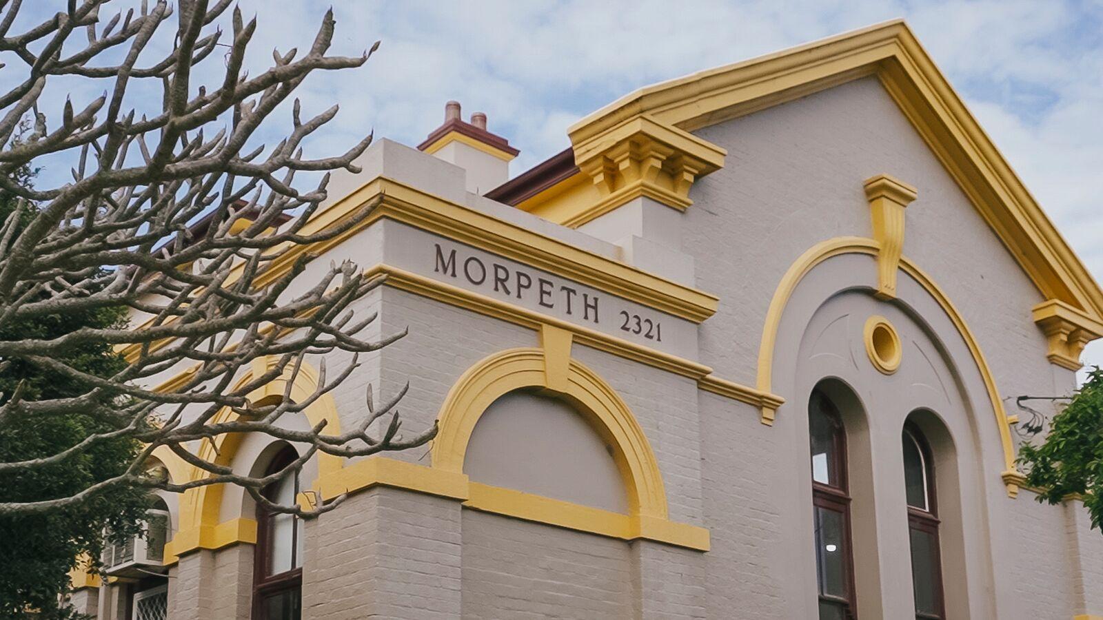
First settled by Europeans in approximately 1818, Maitland was central to trade and the growth of the Hunter Region. Its long history is reflected in the many historic buildings built in the mid 1800s, using local sandstone and cedar.
Over time the town grew steadily and quickly became an important regional centre in the colony, and a number of government services were established in the area, with many of the original buildings still standing.
Local studies
The Maitland Local Studies collection housed at Maitland City Library provides a major repository of historical resources for Maitland. This collection plays a key role in collecting and preserving our social and documentary heritage for current and future generations. The Local Studies collection facilitates the description, storage, publicising and sharing of local history information.
Local history & heritage groups
If you're interested in finding out more about the heritage and history of Maitland, below are a selection of community groups to contact:
Historical photos
The Picture Maitland collection provides a unique insight into Maitland’s past including over 3,000 images of the local community from the late 1800s through to more recent times.
Featuring everything from buildings to bridges, floods, education, sport and entertainment. The collection is diverse, capturing attention and revealing faces of the past. The Picture Maitland collection is hosted on Flickr and you can view it for free at anytime. Want to explore more of Maitland's historical archives? Visit the cultural collections website.
History of flooding in Maitland
Maitland has a well documented history of flooding.
Situated on the banks of the Hunter River, amidst a network of rivers flowing into larger lakes, and on an extensive floodplain, the history of Maitland is one of constant reports of flooding which has impacted the urban and social landscape in many ways.
The years of 1820, 1893, 1913, 1930, 1949 and 1955 are all regarded as significant in the history of flooding in Maitland, however many other flood events have occurred. The most recent storm events in 2007, 2015 and 2022 also caused significant flooding in the area, with floodwaters in 2015 and 2022 cutting off Cessnock Road and access to Gillieston Heights.
The Hunter River flood of February 1955 was the largest flood recorded in the Hunter Valley. The flood height on 25 February was measured at 12.10 metres. State Emergency Service (SES) records state that the total flood volume for the entire Hunter River system was 2.1 million megalitres, which is enough water to fill Sydney Harbour over four (4) times. It destroyed many homes as water inundated the City and claimed several lives.
Maitland's flood history is included in the local history section of the Maitland Library website. There is also a comprehensive image collection on Flickr under Picture Maitland.
Early Settlers of Wallis Plains
The Early Settlers of Wallis Plains teaching unit has been produced by Council to support local Hunter teachers implement the NSW History K-10 syllabus by providing a local context for classroom studies.
iBook Series
The Convict Adventure at Wallis Plains invites students to explore the life and times of Maitland’s first European settlement and the twelve convicts chosen to live there. The book is filled with written content, photographs (old and new), audio and video media and interactive widgets for use in the classroom. Designed to support Stage 2 and Stage 3 NSW syllabus outcomes.
Download from the iTunes bookstore for free.

Heritage publications
The Maitland City Heritage Group have produced a range of publications on Maitland’s unique heritage and significant places which have involved detailed research programs, community activities and professionally produced booklets.
Publications are available from Maitland City Council, Maitland City Library, Maitland Visitors Centre and local commercial book outlets.
Publications
- Out of the Closet, Maitland's Water Stories
By Cynthia Hunter, 2006
Price: $29.95 - Hearths and Homes Maitland Architecture - 19 Decades of Residential Design
By Cynthia Hunter, 2008
Price: Out of print - Bound for Wallis Plains, Maitland's Convict Settlers
By Cynthia Hunter, 2012
Price: $25.00 - Out of the Ordinary, Maitland's Surprising History
By Cynthia Hunter, 2017
Price: $25.00 - Bourke Street, Maitland
By Cynthia Hunter, 1999
Price: Out of print - Horseshoe Bend, Maitland
By Cynthia Hunter, 2001
Price: Out of print - Hay Barns and Dairy Buildings of Maitland
By Clive Lucas Stapleton and Partners, 2002
Price: $13.95 - Time Gentleman Please Maitland's Hotels Past and Present
By Cynthia Hunter and Ranald Boydell, 2004
Price: $30.00